WELCOME, INTERNET TRAVELER
Photographs collected from here, there & in between.
This is my small corner of the web—a growing record of places worth remembering. Browse the latest albums, leave a note, and check back soon.
LIFE THROUGH THE LENS
WELCOME, INTERNET TRAVELER
This is my small corner of the web—a growing record of places worth remembering. Browse the latest albums, leave a note, and check back soon.
THE COMPLETE ARCHIVE
Choose an album below. Click any photograph to open the full-size viewer.
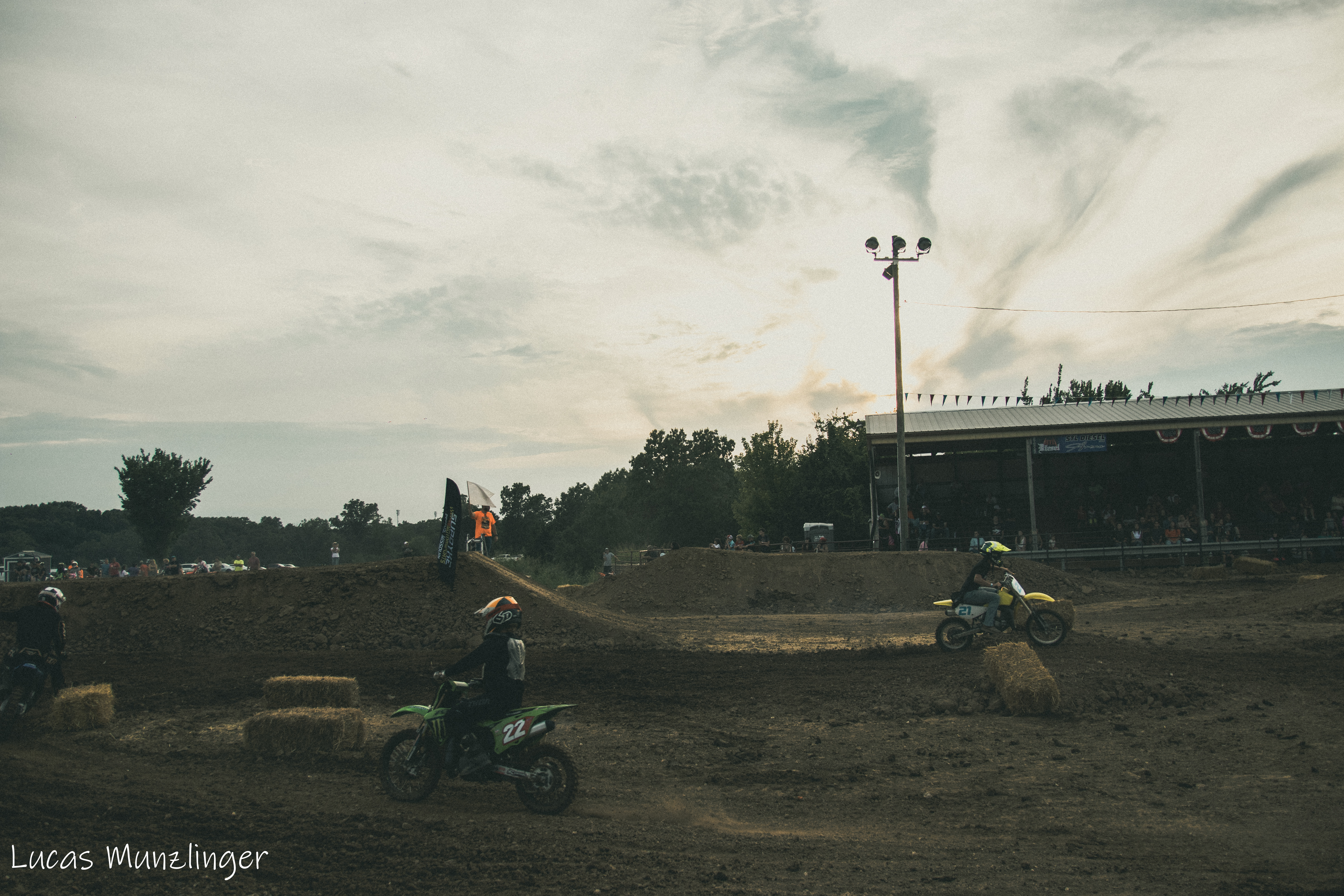
A personal collection by Lucas Munzlinger.
Personal Album • 25 PHOTOS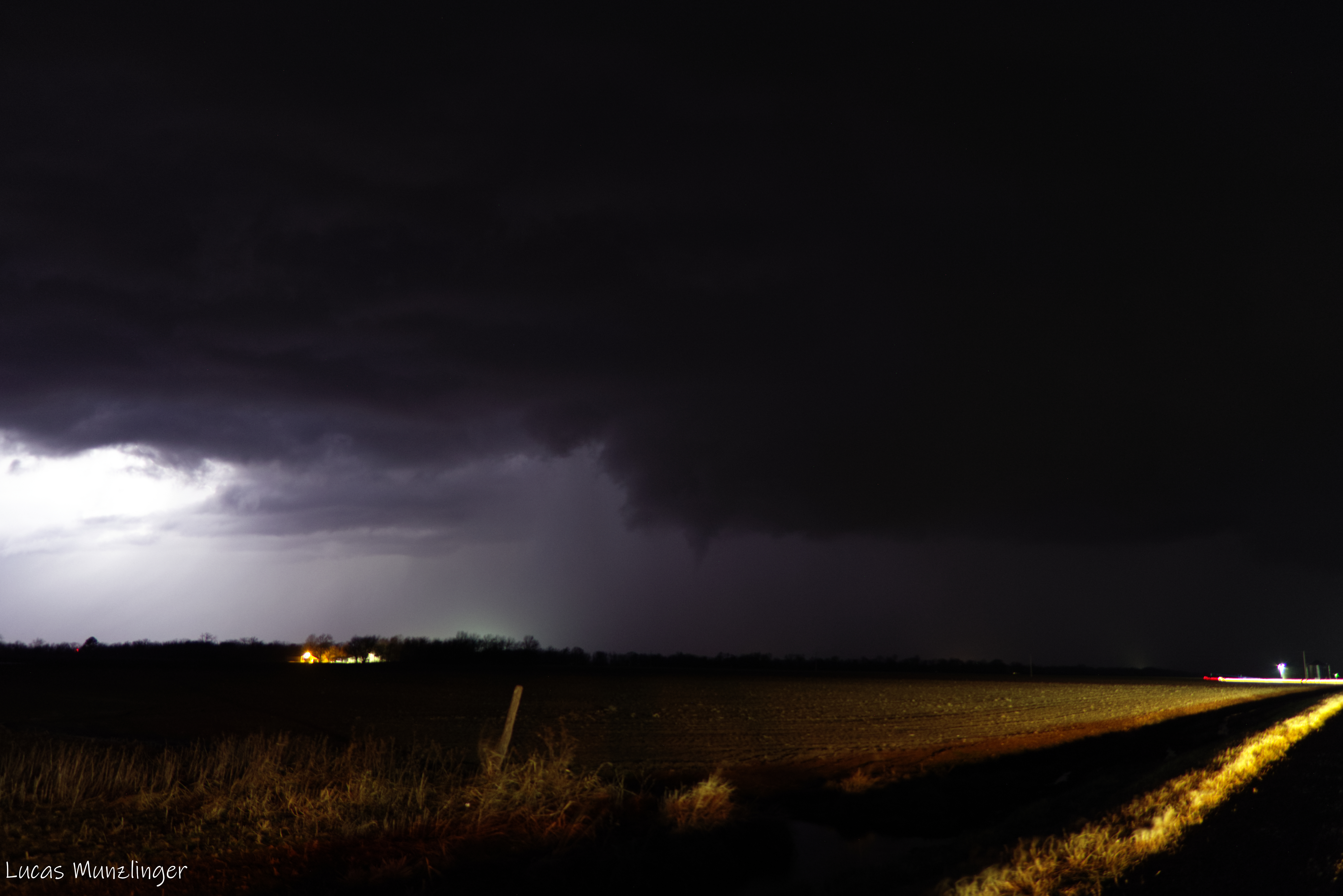
The first regional tornado outbreak in Illinois of 2026, the start of a record-breaking tornado year in the state of Illinois.
Personal Album • 13 PHOTOS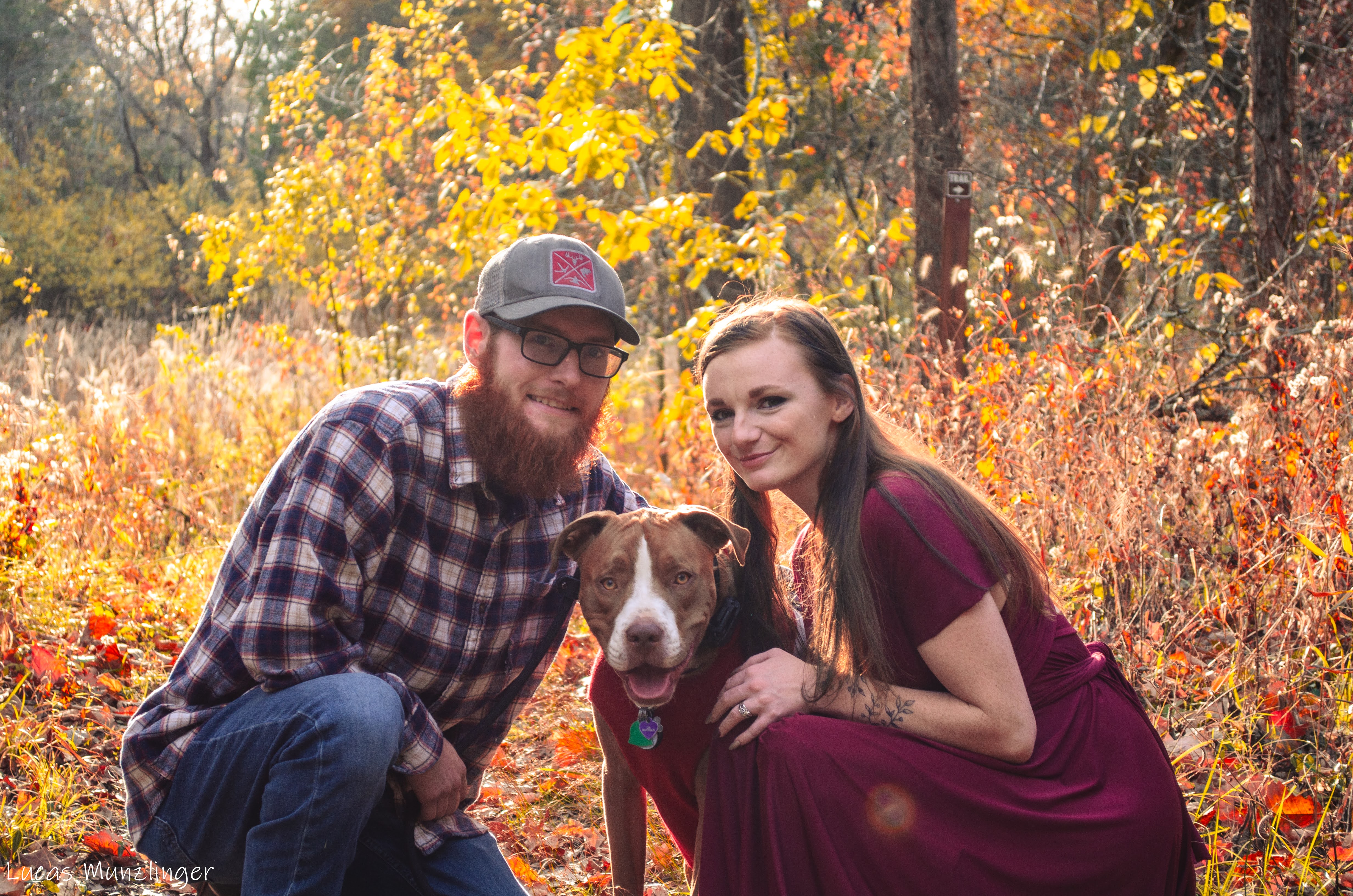
A personal collection by Lucas Munzlinger.
Personal Album • 13 PHOTOS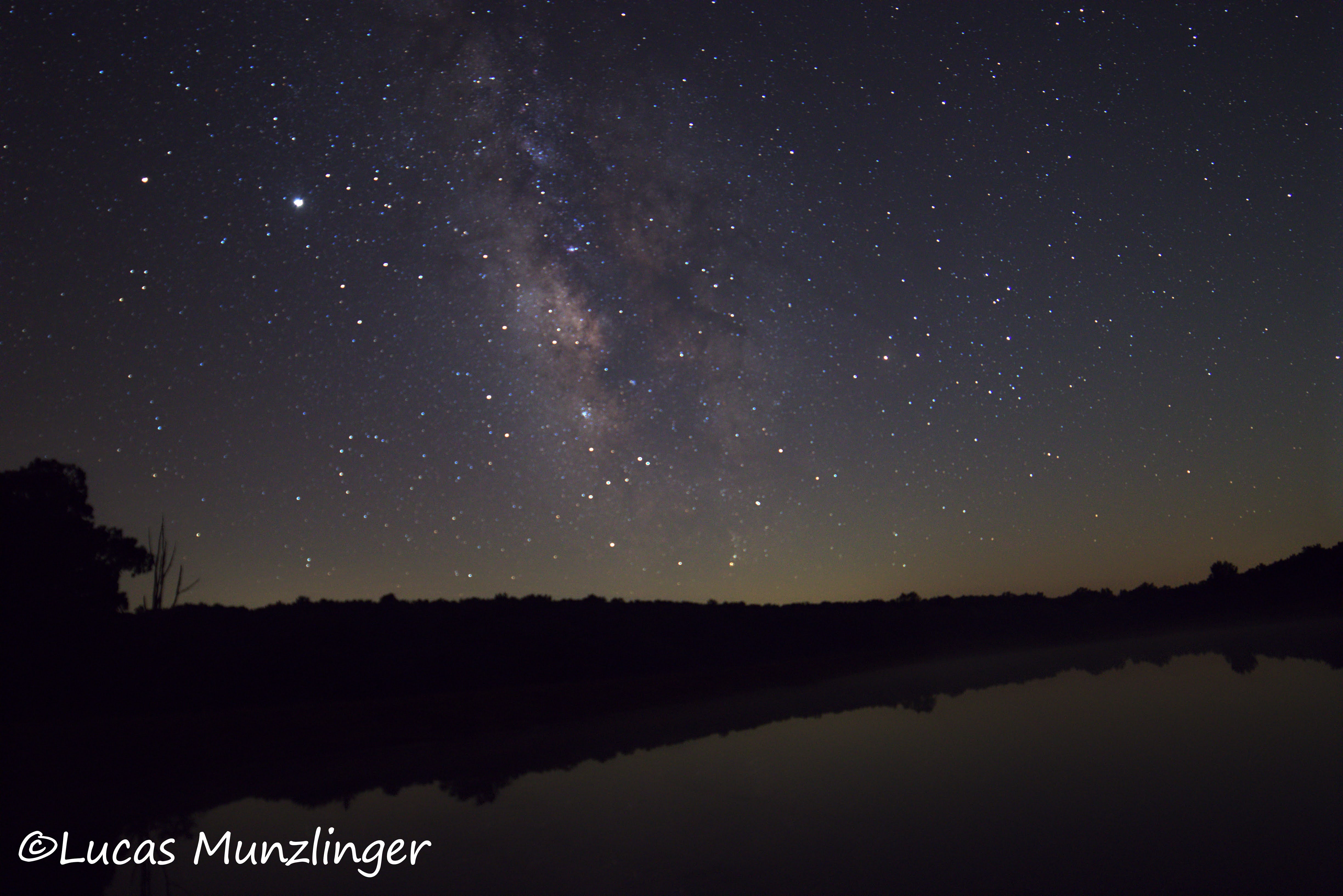
A personal collection by Lucas Munzlinger.
Personal Album • 24 PHOTOS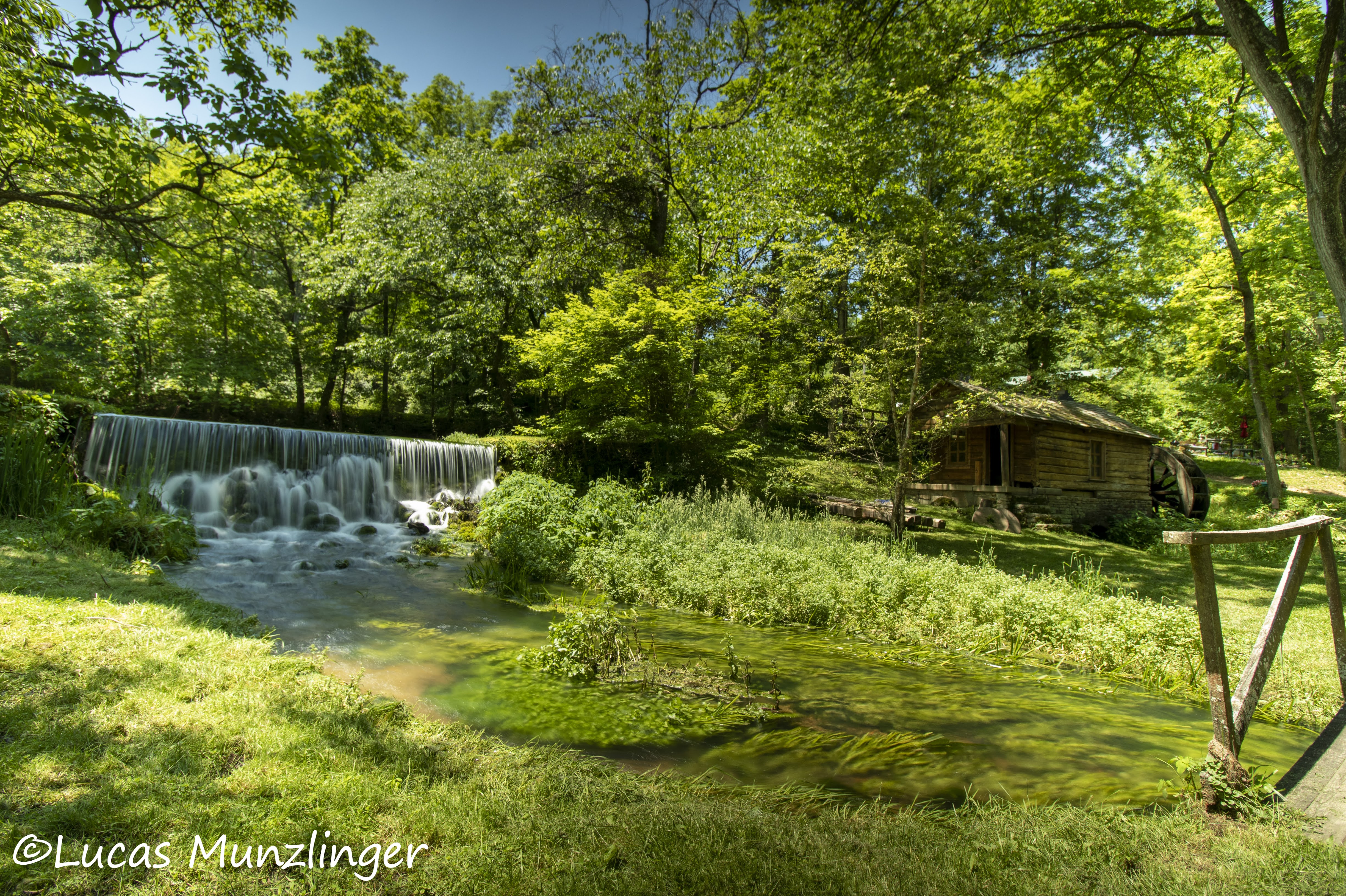
A personal collection by Lucas Munzlinger.
June 7, 2020 • 4 PHOTOS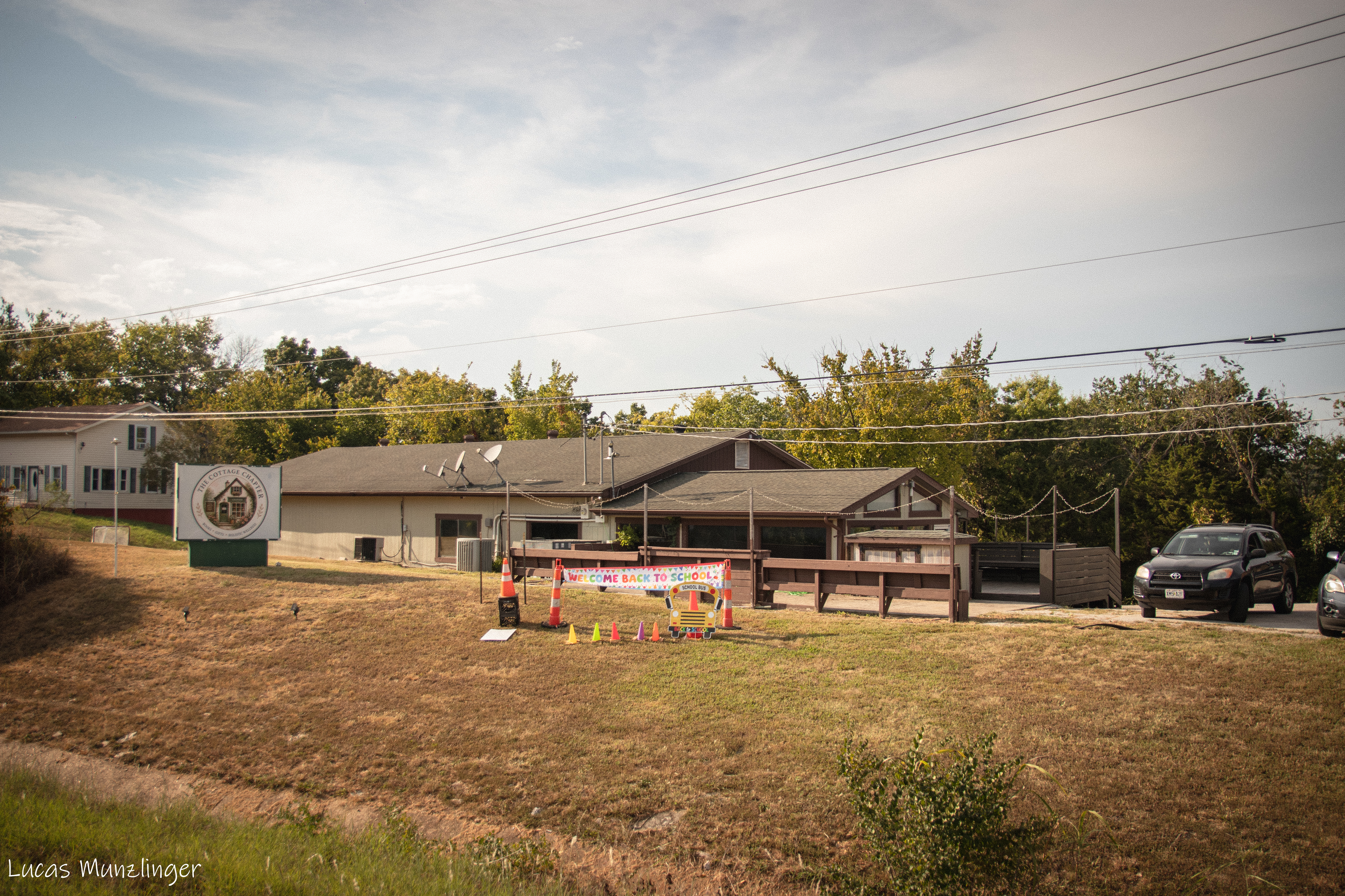
A personal collection by Lucas Munzlinger.
September 5, 2026 • 28 PHOTOS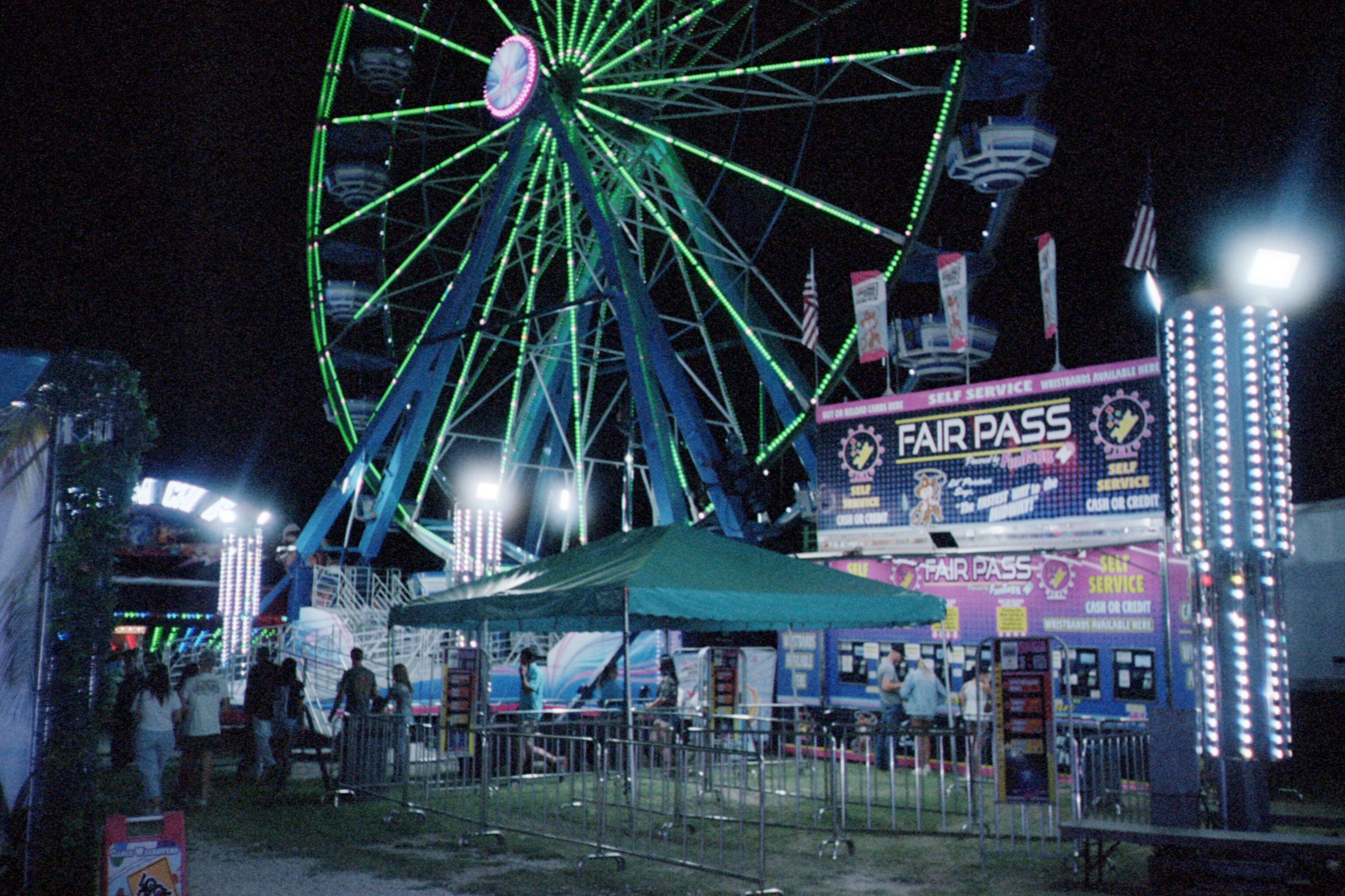
A personal collection by Lucas Munzlinger.
August 11, 2026 • 31 PHOTOS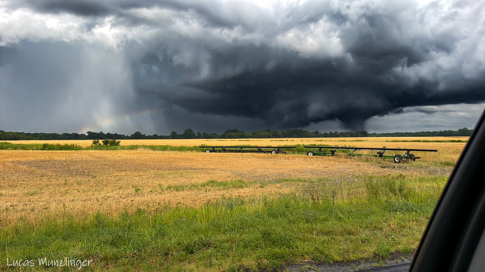
My first solo storm chase got my first EF3 tornado!
June 21, 2026 • 10 PHOTOS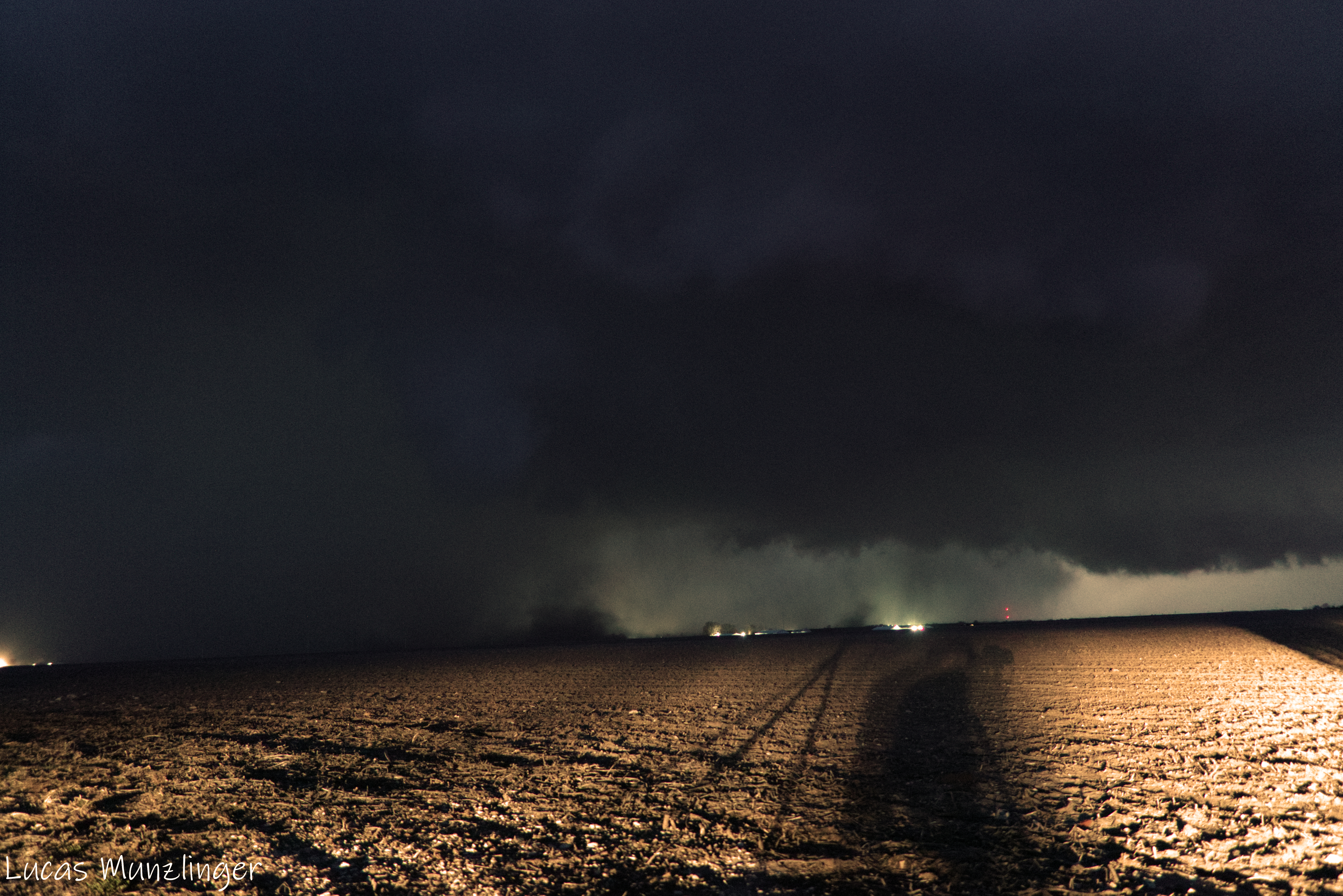
A personal collection by Lucas Munzlinger.
March 10, 2026 • 7 PHOTOS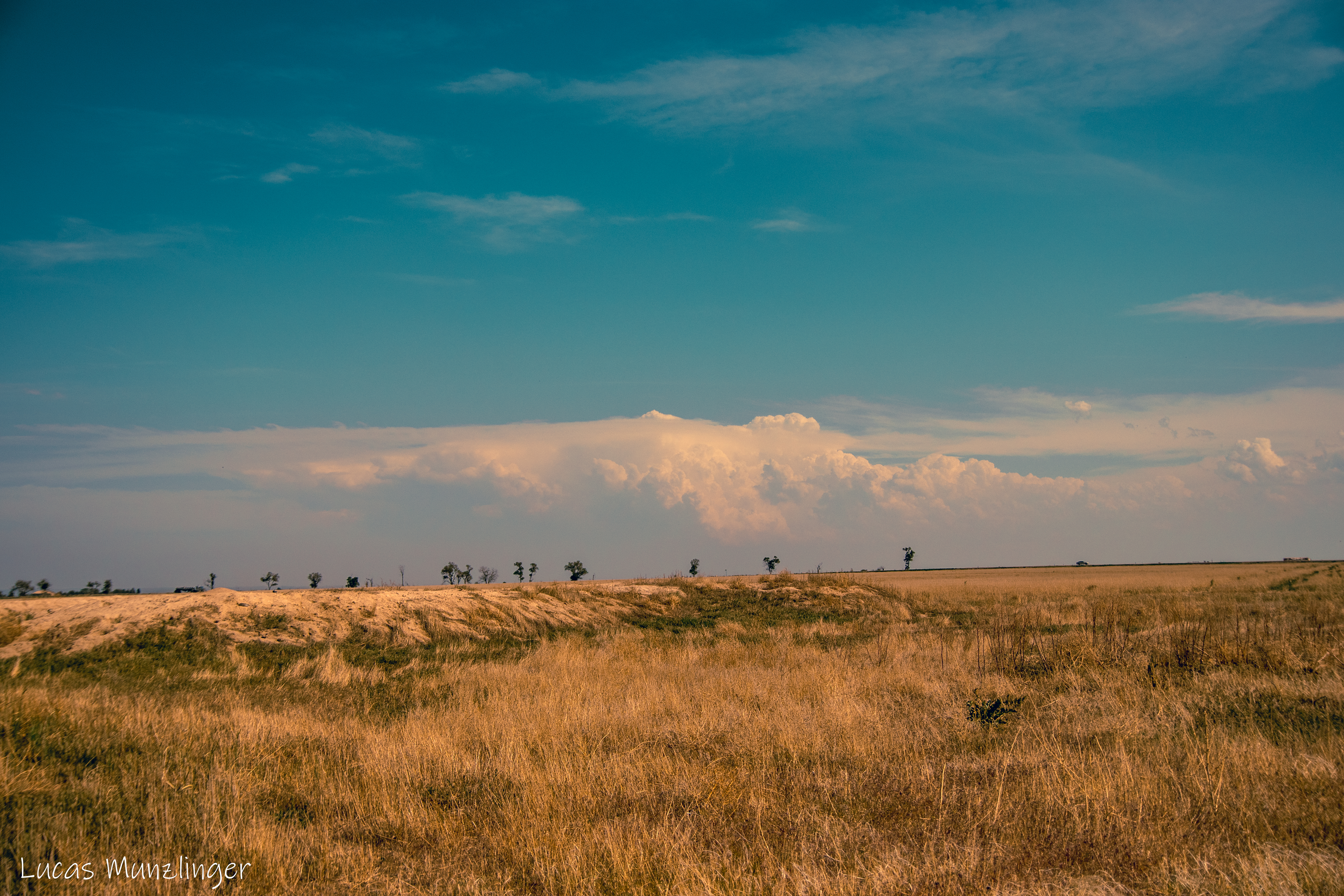
A personal collection by Lucas Munzlinger.
May 23, 2025 • 11 PHOTOS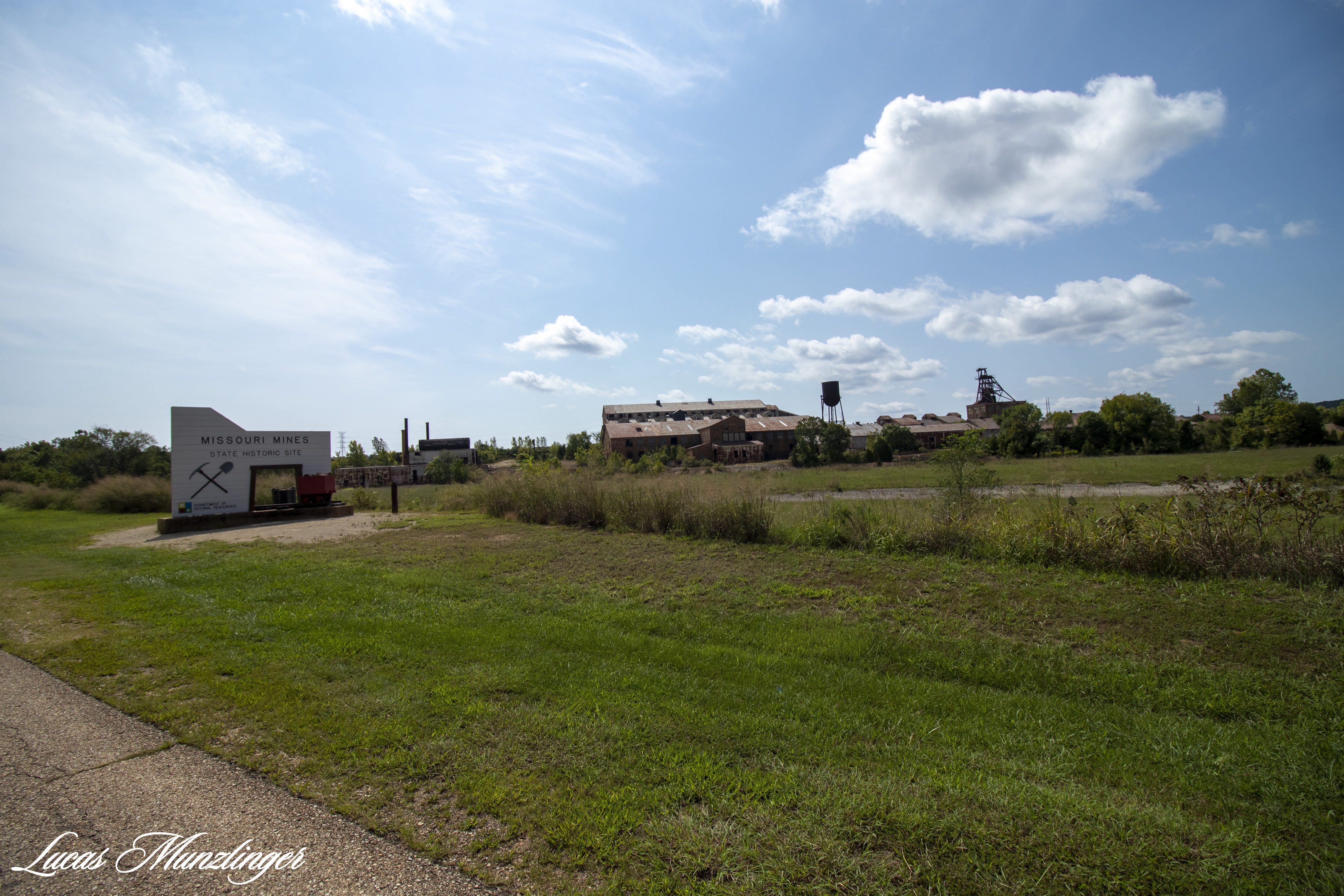
A personal collection by Lucas Munzlinger.
September 6, 2020 • 13 PHOTOS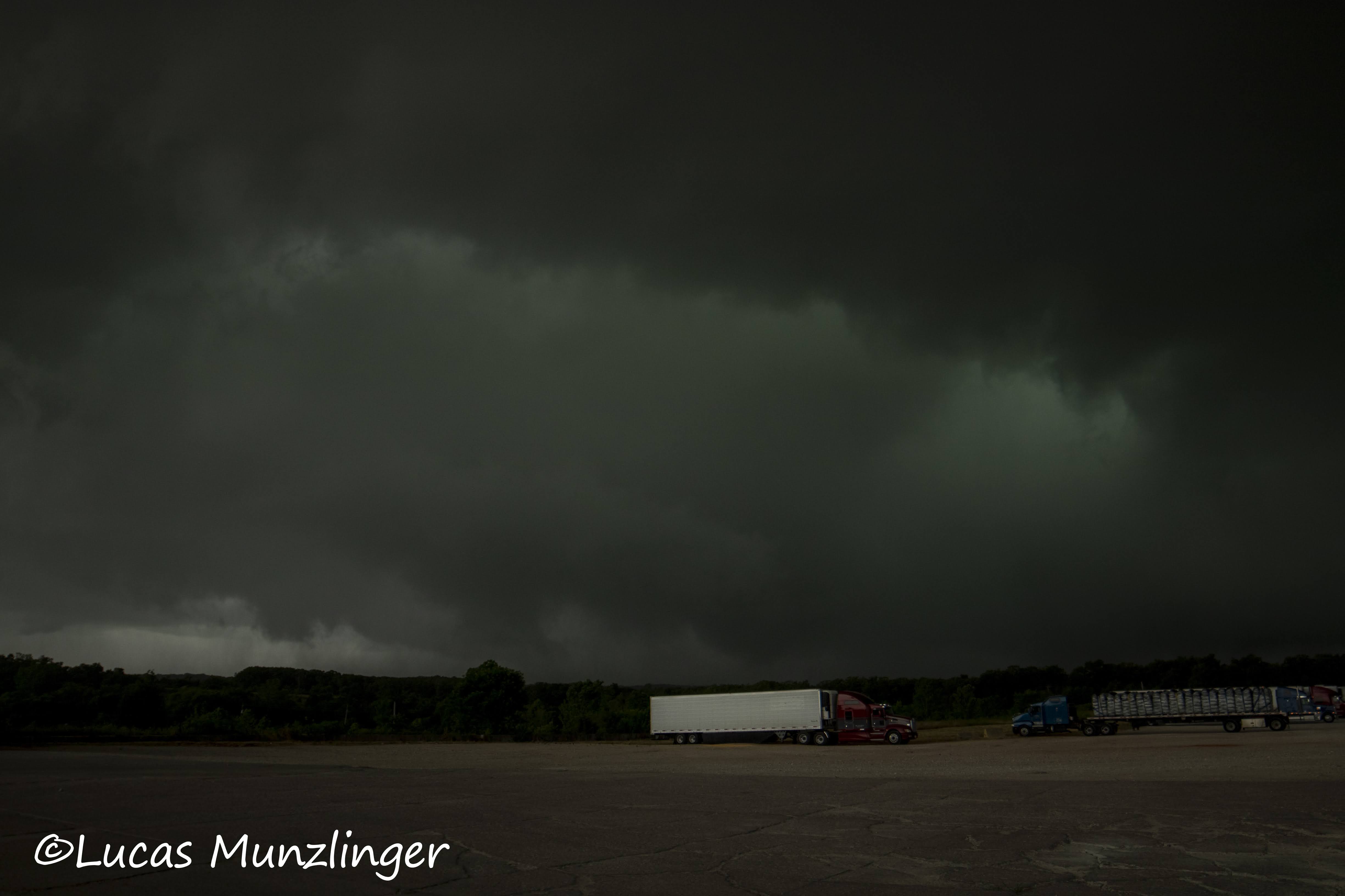
My first EF0 tornado with my father!
June 27, 2020 • 10 PHOTOS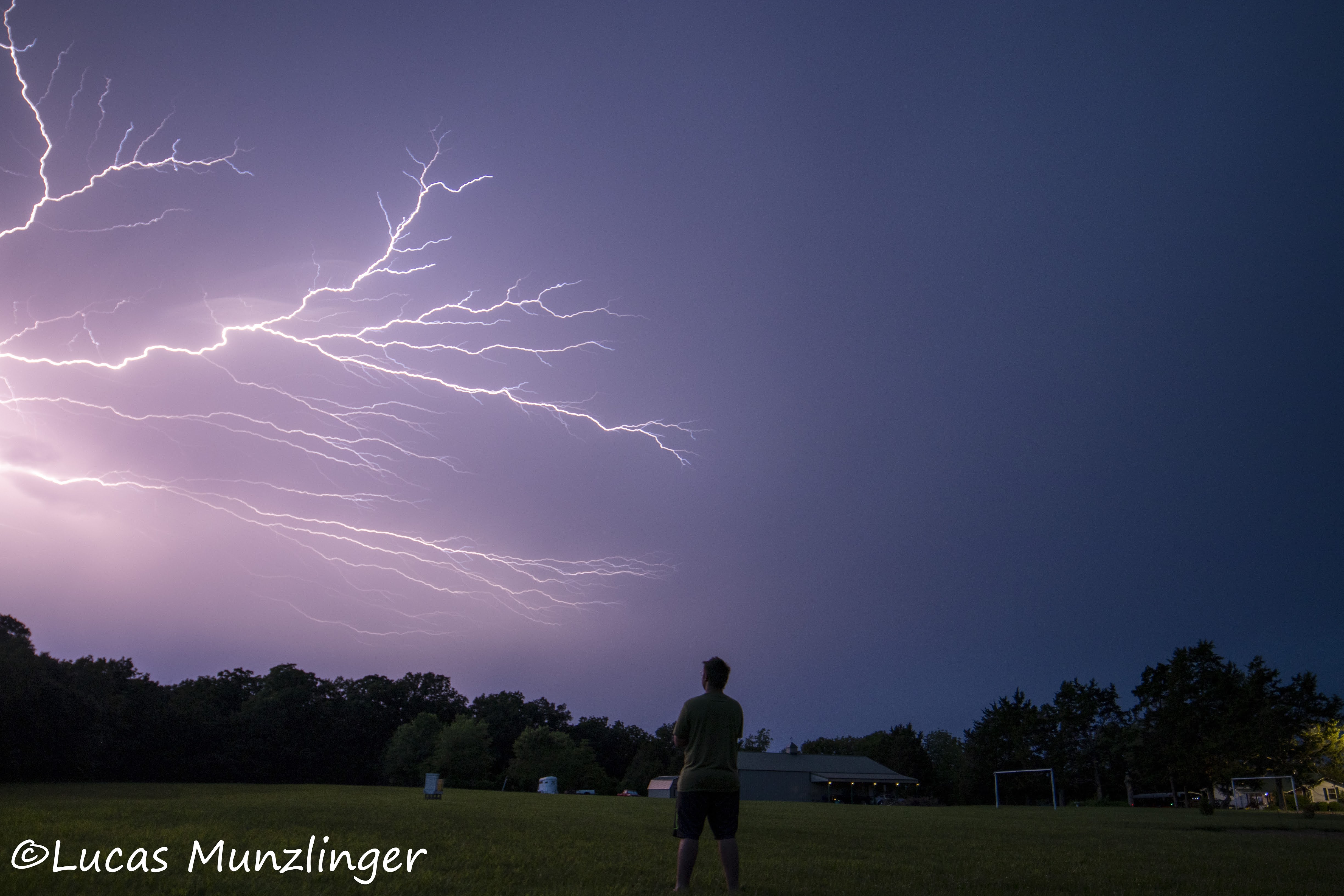
A personal collection by Lucas Munzlinger.
June 3, 2020 • 16 PHOTOSBEHIND THE LENS
I photograph the overlooked moments that give a place its character: the last light on an empty road, a lone supercell thunderstorm traversing the Midwest , the slow pause between destinations.
This archive brings together personal projects, travel blogs, and commissioned work.
“Get Close Photograph Wide”
Canon EOS 80D · Canon EOS Rebel 2000 · A pocket full of film
SAY HELLO
For assignments, print inquiries, or a good old-fashioned note.
Based in Dittmer, Missouri
Typical reply time: 1–2 days
Please don’t send files larger than 10MB.
FIELD NOTES & STORIES
Stories from behind the camera, recent travels, and new work.
My personal review of the Strike Finder 2 lightning trigger
Read the complete story →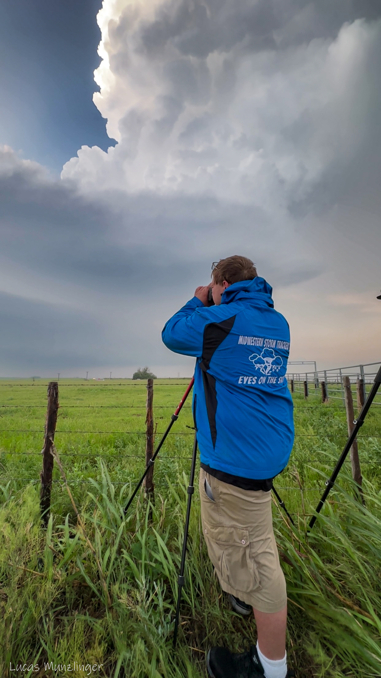
Hi, I'm Lucas. I am a photographer and storm chaser
Read the complete story →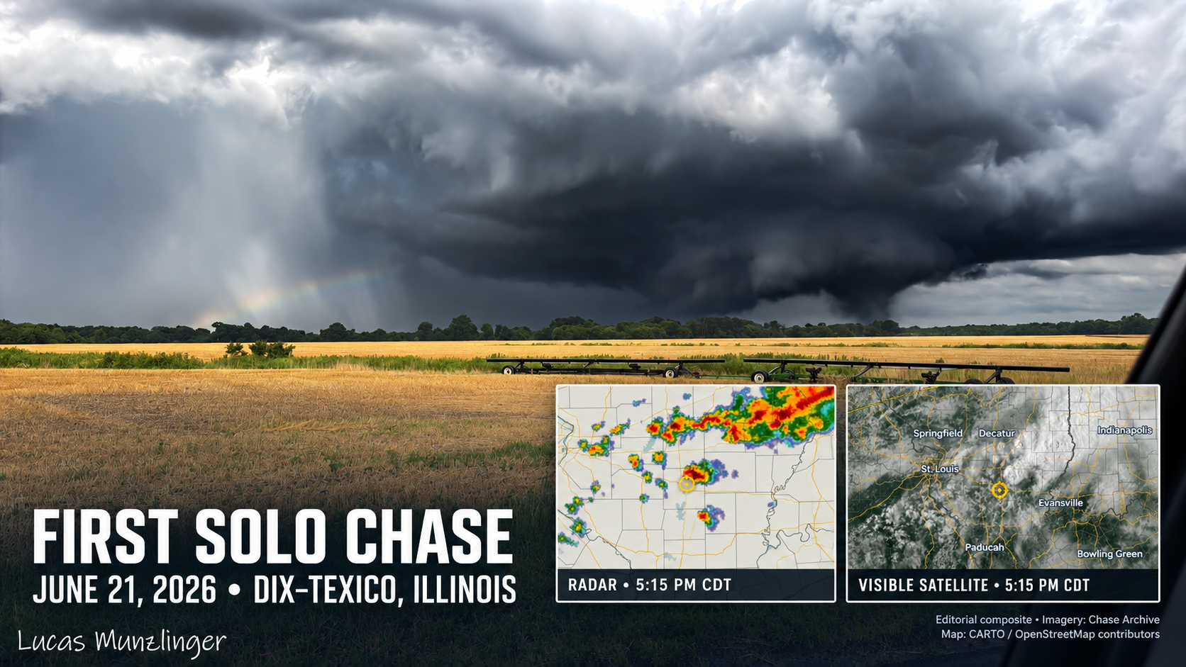
My first solo storm chase took me from work in Fenton, Missouri, to the Dix–Texico EF3 tornado. A firsthand account of June 21, 2026.
Read the complete story →My first East Central Plains chase
Read the complete story →Coming back from the beach, I viewed some incredible Florida lightning with my parents
Read the complete story →My first tornado with my father
I’ve been officially chasing storms since 2016, 4 years and have seen 3 major supercells. That was last year on March 24, 2019, this year May 4, 2020, and now June 27, 2020. That says a lot. Storm chasing is definitely not easy. I have a lot of friends who travel hundreds of miles just to see 5 or 10 minutes of nature’s fury. 2020 is officially the hardest storm chasing year on record. What made it more difficult is the current pandemic going on.
Now on to how I got this needle-in-a-haystack tornado. I think you guys will love it. Are you guys sure you want to read it? Haha. Ok, let’s read!
June 27, 2020
The morning of June 27, 2020 started out like any camping trip day. I rolled out of my bunk, grab a water and my phone, and head outside to put a piece of wood on the campfire to keep the bugs away. I was aware yesterday there was a marginal risk for my area (Steelville ,Missouri), so I pull up the Storm Prediction Center risks and see a marginal risk, but no tornado risk at all. I looked at the forecast and it called for isolated thunderstorms for the afternoon and evening hours. It was definitely a struggle to get good cell service to look at the model runs, so I gave up on that. So, for the rest of the day, the family and I relaxed. My dad and I went to the pond on the campsite and did some fishing for a little while. I caught a crappie, almost two. Dad didn’t catch any, just nibbles. Dad and I decided to go up to Steelville, Missouri to get some bait, some crickets to catch more crappie. They didn’t have any, but that’s ok. We got some worms for bass fishing. After that, we headed just a little down the road to get some ice cream at the (Insert name here). Dad got a reeces concrete and a banana split and I got a cookie dough concrete. After we got the ice cream, we hopped into the truck headed back to the campsite.
The Event
After a while, I get a text on a weather chat my friends and I created my friend, Christina Starkey showing a simulated storm on the weather models at 6:00 pm for my area. It looked interesting, so I kept an interest in it. Later, I asked my friend Calvin Thomas for a updated radar scan of the storms on radar. There was a severe warned storm that looked good, so I grabbed my camera gear and head out to the field facing the storm. I set my camera up ready to take some lightning photos. I take a look again at the radar super-res velocity and saw broad rotation, so I grabbed my gear and ran to my dad. He was in the camper at the time getting ready to prep for dinner. When I got to the camper, I opened up the door and looked at my dad and said, “Dad, look at this storm. It’s gonna produce a tornado. I know it. I can feel it in my gut. Please take me up there!” He said ok, so we hopped into the truck and peeled out of the campsite on our way to Cuba, Missouri to have a date with a storm. When we got to Cuba, the sky looked ominous, everything was quiet, and there was no wind. Had a feeling something was not right. I was excited and a little nervous, but I knew what I was getting into. I also knew what I was doing. Dad asked me where to go, so I told him to drive to the truck stop (Midwest Petroleum Diesel Island). While we were at a red light on MO-19, I rolled down the window to give a heads up to some folks on motorcycles there’s hail and heavy rain and this storm could produce a possible tornado. They replied “Thank you for letting us know”. The light turned green and we headed to the parking lot of the truck stop. We pulled in facing northwest. I grab my gear and set my dslr camera up to automatically take photos. The structure of this storm was beautiful. Around 5:37pm, I can start to see all the dynamics of a supercell.
First one is the wall cloud with a inflow tail.
we see the first funnel cloud.
At 5:41 pm we can now see a big cone funnel.
The supercell is now starting to ramp up as the storm is heading toward us.
The tornado is starting to become rain wrapped as the storm moves over us.
Blink of an eye the storm was on us at we where getting strong westerlies the tornado was in front of us the rotation is tightening up then there was a tornado on the ground!
The moment is tense as the tornado is on the ground. The truck is shaking. I still had the live stream going on my photography page, Lucas Munzlinger Photography. My dad and I were seeing pieces of shingles and tree branches falling and rotating around the tornado. Then, in a blink of an eye, the moment was over and everything was calm. The tornado has passed and dissipated. After that, we headed back to camp to eat dinner.
What was the Tornado Rating?
RATING: EF-0
ESTIMATED PEAK WIND: 85 MPH
PATH LENGTH /STATUTE/: 0.8 MILES
PATH WIDTH /MAXIMUM/: 100 YARDS
START TIME: 5:42 PM
END TIME: 5:44 PM
Source:
National Weather Service St.Louis Missouri
Tornado Windspeed Ratings
EF0…WEAK……65 TO 85 MPH
EF1…WEAK……86 TO 110 MPH
EF2…STRONG….111 TO 135 MPH
EF3…STRONG….136 TO 165 MPH
EF4…VIOLENT…166 TO 200 MPH
EF5…VIOLENT…>200 MPH
source:
National Weather Service St.Louis Missouri
Click Here To Read Full Tornado Survey
Watch full chase video here!
MOTION PICTURES
Films, behind-the-scenes moments, and stories in motion.

SEASON BY SEASON · SAFETY FIRST
Practical field guidance for photographing Missouri weather and landscapes.
FIRSTHAND ACCOUNTS · OFFICIAL SOURCES
Sourced, time-ordered records from the field.
NEWSROOM-READY WEATHER MEDIA
Midwestern weather, landscapes, field video, and visual reporting from Dittmer, Missouri.
Lucas Munzlinger is a Missouri photographer documenting severe weather, rural landscapes, travel, and the overlooked moments that give a place its character. His work combines firsthand field observations with still photography and motion footage.
Based in Dittmer, Missouri, Lucas works across the Midwest and maintains an expanding archive of photographs, field stories, and video clips.
REPRESENTATIVE WORK
PRIVACY
Plain-language information about the limited data this website uses.
The live visitor counter uses an anonymous cookie that lasts for one year so a browser is not counted repeatedly. It is not used to identify you.
When a visitor arrives through a tagged link, this site records aggregate campaign labels and actions such as a page view, contact inquiry, purchase inquiry, licensing inquiry, newsletter signup, or share. This tracking does not store IP addresses, browser user-agent strings, names, email addresses, or other personal identifiers.
If you subscribe, the site stores the email address you provide, your consent, subscription status, signup source, and related dates so it can deliver and manage email updates. You can unsubscribe using the link provided in newsletter messages or contact Lucas Munzlinger Photography.
Personal data is not sold. Contact and purchase forms open your own email application; you can review the message before sending it. Questions or privacy requests can be sent through the contact page.
Last updated October 30, 2026.
EMAIL PREFERENCES
Confirm below to stop receiving newsletter updates.
PRIVATE CONTROL PANEL
Sign in to edit website content and manage photo albums.
Enter your password to continue.
CLOUDFLARE LIVE PUBLISHING
Appearance and video changes are saved in this browser until you publish. Blog posts and albums use their own cloud Save draft and Publish controls above.
No publish is currently running.
PRIVATE TRAFFIC CONTROL CENTER
First-party traffic, referral, publishing, and newsletter signals. Nothing here is public, and no outreach is sent automatically.
Sign in to load the private Traffic Control Center.
PRIVATE LINK-EARNING PLAN
Verified organizations that fit your Missouri, weather, event, and photography work. Midwestern Storm Trackers is excluded. Nothing is sent automatically.
Review each organization’s current submission rules and agree on credit, usage, and a website link before sending original files.
| Priority | Organization | Opportunity | Personalized pitch angle |
|---|---|---|---|
| 1 | Jefferson County Tourism Commission ↗ | Local tourism | “Jefferson County through the lens” feature using Dittmer scenery and local-event photographs. |
| 2 | Jefferson County Fairgrounds ↗ | Local events | Offer the fair galleries as a credited recap and discuss prearranged future coverage. |
| 3 | Leader Publications ↗ | Local newspaper | Pitch a timely photo essay with a link to the original story or gallery. |
| 4 | Visit Missouri ↗ | State tourism | Package several collections as an “Unexpected Missouri” visual story. |
| 5 | St. Louis Camera Club ↗ | Photography group | Offer a practical presentation or newsletter article backed by field examples. |
| 6 | Jefferson County Historical Society ↗ | Local history | Offer a captioned contemporary Jefferson County set for archival consideration. |
| 7 | Jefferson County Library ↗ | Community / education | Propose a local program or exhibit with a linked presenter profile. |
| 8 | Missouri Mines State Historic Site ↗ | Parks / history | Offer the existing album as a captioned, credited visitor photo essay. |
| 9 | Visit Cuba Missouri ↗ | Tourism / history | Offer a sensitive tornado documentary story and possible present-day follow-up. |
| 10 | State Historical Society of Missouri ↗ | State archive | Discuss a long-term born-digital collection with creator attribution. |
| 11 | First Alert 4 / KMOV ↗ | TV weather desk | Offer timely weather media only after agreeing on credit, licensing, and linking. |
| 12 | Spectrum News Missouri ↗ | Statewide news | Pitch a complete visual story rather than submitting an uncontextualized image. |
Before sending full-resolution media: confirm the requested credit line, the exact usage rights, and whether the published page will link to LucasMunzlinger.com. Generic newsroom upload forms may grant broad rights without guaranteeing a link.
GOOGLE PHOTOS IMPORT
Choose individual pictures in Google Photos, download them, then bring those original files into your website.
For an album, choose or name the album in “Add Photographs” first. For a blog, create or select the post first. If Google downloads a ZIP file, extract it before importing.
VIDEO MANAGER
BLOG MANAGER
CURRENT ALBUMS
ADD PHOTOGRAPHS